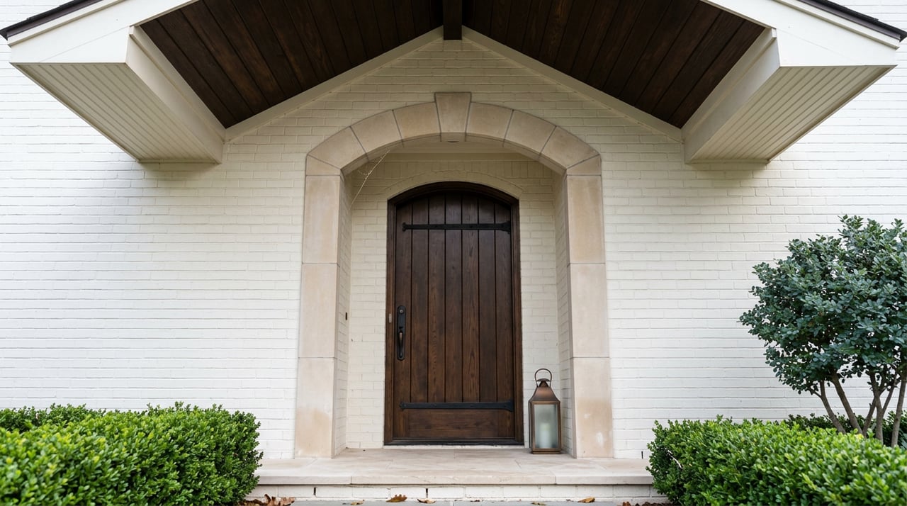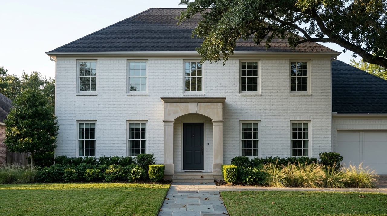
Ask a King William seller what worries them most about the paperwork, and they'll say the Historic and Design Review Commission. It's the name everyone in the neighborhood already knows, the one that shows up in every renovation conversation on Adams Street or King William Street. What almost nobody mentions is the other clock running in the background: a countywide flood map update that's already been submitted to federal regulators and could change what your home is required to carry in insurance before you've even found a buyer.
Both processes matter. Only one of them is a moving target right now.
The clock everyone already warns you about
If you own a home inside the King William Historic District and you want to touch anything visible from the street, paint color, fencing, a porch rebuild, a window swap, you're working inside a defined process. The City of San Antonio's Office of Historic Preservation reviews the application first. Straightforward requests get handled administratively. Anything larger or more complicated goes to the Historic and Design Review Commission, which meets the first and third Wednesday of every month.
The sequence itself isn't mysterious: application, review, Certificate of Appropriateness, then a standard building permit, then construction. What trips people up is the timing. The city's own 311 service page notes that once an investigation confirms unpermitted work, staff aim to get a property owner the right paperwork within 10 working days, but that estimate assumes no HDRC hearing is required. Add a commission review and the runway stretches. Local permitting trackers put straightforward administrative approvals at two to six weeks, with more involved HDRC cases running well past that once revisions or additional documentation get requested.
The city's own ordinance language spells out what happens after approval, and it's worth knowing before you're mid-contract.
In plain terms: once the commission signs off, the clock doesn't stop. You have 180 days to pull building permits and another 180 days after that to break ground, or the certificate expires and you start the review over.
That's not a reason to panic. It's a reason to start early, especially if you're planning to list this fall and want any exterior work finished before photos go up. Sellers who keep a clean file of past Certificates of Appropriateness give buyers something concrete to review during underwriting, which shortens conversations that would otherwise happen cold.
The clock nobody's watching
Here's the one that actually deserves your attention right now. On July 22, 2026, local news outlets reported that the San Antonio River Authority had submitted updated FEMA floodplain maps that would add just over 5,000 parcels and roughly 5,600 buildings to proposed flood zones across Bexar County. The public release of those preliminary maps, along with community meetings, is expected in early 2027.
That's a countywide number, not a King William-specific one. But the King William Historic District is officially mapped as running along the San Antonio River, which makes it exactly the kind of geography these remaps tend to touch. A revision that adds thousands of parcels across Bexar County is not an abstract risk for river-adjacent historic blocks. It's the update those blocks are built to be affected by.
The mechanics matter more than the map itself. The San Antonio River Authority's own guidance is direct about what happens if your property gets reclassified mid-mortgage: if the maps are revised while you have a loan and your property moves into a high-risk zone, your lender will notify you that flood insurance is now required. If you haven't already secured a policy yourself, the lender purchases one on your behalf, and that lender-placed policy typically costs more than a policy you shop for on your own. The Authority also points out that roughly one in four flood insurance claims come from properties in low-to-moderate risk zones, the exact tier a remap is designed to reshuffle.
Why the timing is the actual problem
Today is September 7, 2026. SARA has already submitted its proposed maps. The expected public release sits in early 2027, which puts the real planning window at somewhere between four and seven months from now, not years.
If you're listing a King William home this fall or winter, you're selling inside a gap. The flood zone status a buyer's lender checks today might not be the flood zone status that property carries by the time the new owner refinances or the maps go final. If you're buying, the "not in a flood zone" line on a listing sheet is accurate as of this week, not necessarily as of next spring.
This isn't a reason to delay a sale or panic-buy insurance you don't need. It's a reason to treat flood zone status as a live variable during a transaction instead of a fixed fact you check once and forget. A buyer's lender will check current FEMA status at closing regardless. What changes is how much runway you have to get ahead of a policy versus have one assigned to you later at a worse rate.
What to do about it now
A few concrete steps make sense whether you're getting ready to list or you closed on a King William home last year and plan to stay for a while.
- Check your parcel against the San Antonio River Authority's current floodplain data before you list or make an offer, not after. Knowing where you stand today is the only way to know what a remap would actually change for you.
- If you're selling, pull together your Certificate of Appropriateness history and any building permits tied to exterior work. A documented file moves underwriting conversations faster and gives a buyer's lender less to second-guess.
- If you're not currently required to carry flood insurance but sit close to the river, talk to your insurance agent about locking in a policy and an elevation certificate now rather than waiting for a lender to assign one to you after a remap lands.
None of this requires a crystal ball. It requires knowing the maps are already in motion.
FAQ
Does this affect the whole King William Historic District, or just homes closest to the river? The reporting so far is countywide, not broken out by block. But the geography that typically shifts in these updates is exactly the kind King William has: low-lying parcels near the river. Homes closest to the water carry the most practical exposure today, ahead of any formal announcement.
I already have flood insurance. Does any of this change for me? Not dramatically. A remap mainly reshapes underwriting and pricing for properties moving between zones. If you're already insured, the bigger risk sits with the roughly one in four flood claims the River Authority says come from properties in lower-risk zones without coverage, not with policyholders who are already covered.
When will the new maps actually take effect? SARA has submitted its proposed maps, but the public release and community meeting window is expected in early 2027. Nothing is finalized yet, which is exactly why the planning window is now rather than after the maps are published.
If you're weighing whether to list a King William home this year, or you're trying to figure out what a river-adjacent historic property is really worth with these two clocks running, we can help you get specific instead of guessing. Start with a Harkin Realty home valuation to see where your property stands today, and we'll walk through the paperwork that actually matters before you go under contract.